 vesseltracker.com
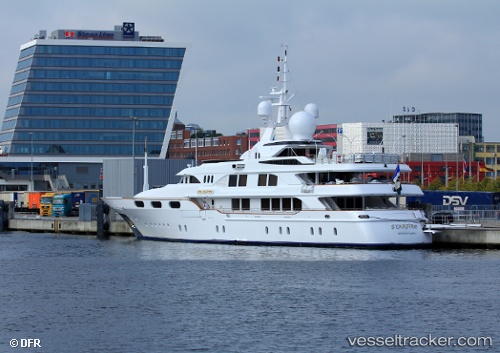
Find the position of the vessel Starfire on the map. The latter are known coordinates and path.
marine traffic ship tracker show on live map
The current position of vessel Starfire is 32.63075 lat / -117.10825 lng. Updated: 2025-11-10 16:42:14 UTCCurrently sailing under the flag of St Vincent Grenadines
Starfire built in 1998 year
Details:
Last coordinates of the vessel:
UTC, 32.63075, -117.10825, course: 102, speed: 0UTC, 32.63075, -117.10825, course: 102, speed: 0
UTC, 32.63075, -117.10825, course: 102, speed: 0
2025-11-10 16:42:14 UTC, 32.63075, -117.10825, course: 102, speed: 0