 vesseltracker.com
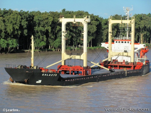
Vessel Mounie K IMO: 8416152, MMSI: 377901115 General Cargo Ship
UTC, 18.23066, -72.53570, course: 1, speed: 0.1
UTC, 18.23072, -72.53574, course: 1, speed: 0.1
2026-03-01 15:07:07 UTC, 18.23072, -72.53574, course: 1, speed: 0.1
Live AIS position:
UTC. Near Jacmel),
updated 2026-03-01 15:07:07 UTC.
Find the position of the vessel Mounie K on the map. The latter are known coordinates and path.
marine traffic ship tracker show on live map
The current position of vessel Mounie K is 18.23072 lat / -72.53574 lng. Updated: 2026-03-01 15:07:07 UTCDetails:
Last coordinates of the vessel:
UTC, 18.23066, -72.53570, course: 1, speed: 0.1UTC, 18.23066, -72.53570, course: 1, speed: 0.1
UTC, 18.23072, -72.53574, course: 1, speed: 0.1
2026-03-01 15:07:07 UTC, 18.23072, -72.53574, course: 1, speed: 0.1