 vesseltracker.com
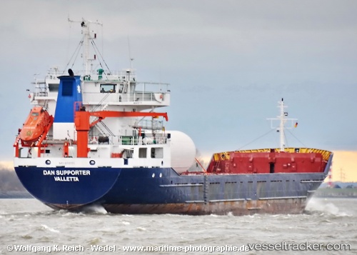
Vessel SYROS WIND IMO: 8707771, MMSI: 377901136 General Cargo Ship
UTC, 12.04730, -61.74985, course: 162, speed: 0
UTC, 12.04729, -61.74985, course: 162, speed: 0.1
2026-03-12 21:56:39 UTC, 12.04734, -61.75045, course: 138, speed: 1.1
Live Vessel SYROS WIND Analytics (details, animations, etc.)
Live AIS position: UTC. Near St. Georges), updated 2026-03-12 21:56:39 UTC.Find the position of the vessel SYROS WIND on the map. The latter are known coordinates and path.
marine traffic ship tracker show on live map
The current position of vessel SYROS WIND is 12.04734 lat / -61.75045 lng. Updated: 2026-03-12 21:56:39 UTCCurrently sailing under the flag of St Vincent and Grenadines
SYROS WIND built in 1987 year
Deadweight:
3173 tDetails:
Last coordinates of the vessel:
UTC, 12.04729, -61.74983, course: 162, speed: 0UTC, 12.04730, -61.74985, course: 162, speed: 0
UTC, 12.04729, -61.74985, course: 162, speed: 0.1
2026-03-12 21:56:39 UTC, 12.04734, -61.75045, course: 138, speed: 1.1