 vesseltracker.com
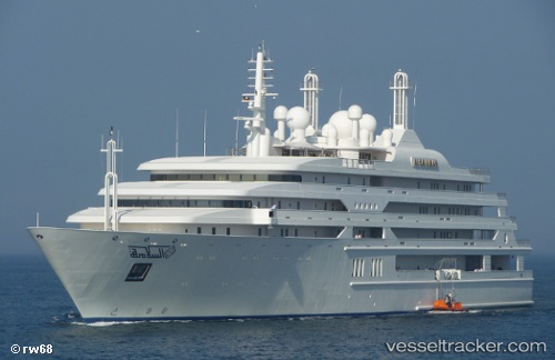
Vessel Al Salamah IMO: 1007043, MMSI: 403003000 Service Ship
UTC, 38.03685, 23.50399, course: 226, speed: 0.1
2026-01-29 09:19:54 UTC, 38.03685, 23.50399, course: 226, speed: 0.1
Live AIS position:
UTC. Near Eleusis),
updated 2026-01-29 09:19:54 UTC.
Find the position of the vessel Al Salamah on the map. The latter are known coordinates and path.
marine traffic ship tracker show on live map
The current position of vessel Al Salamah is 38.03685 lat / 23.50399 lng. Updated: 2026-01-29 09:19:54 UTCDetails:
Last coordinates of the vessel:
UTC, 38.03685, 23.50399, course: 226, speed: 0.1UTC, 38.03685, 23.50399, course: 226, speed: 0.1
2026-01-29 09:19:54 UTC, 38.03685, 23.50399, course: 226, speed: 0.1