 vesseltracker.com
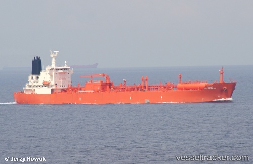
Vessel Al Barrah IMO: 9332030, MMSI: 403573000 Lpg Tanker
UTC, 24.16501, 52.72295, course: 306, speed: 0
UTC, 24.16502, 52.72290, course: 306, speed: 0
2026-02-04 10:35:31 UTC, 24.16499, 52.72288, course: 306, speed: 0
Live AIS position:
UTC. Near Ar Ruways),
updated 2026-02-04 10:35:31 UTC.
Find the position of the vessel Al Barrah on the map. The latter are known coordinates and path.
marine traffic ship tracker show on live map
The current position of vessel Al Barrah is 24.16499 lat / 52.72288 lng. Updated: 2026-02-04 10:35:31 UTCDetails:
Last coordinates of the vessel:
UTC, 24.16501, 52.72291, course: 306, speed: 0UTC, 24.16501, 52.72295, course: 306, speed: 0
UTC, 24.16502, 52.72290, course: 306, speed: 0
2026-02-04 10:35:31 UTC, 24.16499, 52.72288, course: 306, speed: 0