 vesseltracker.com
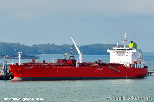
Vessel Gulf Huwaylat IMO: 9359870, MMSI: 403584000 Oil Products Tanker
UTC, 24.01478, 37.43968, course: 62, speed: 0.9
UTC, 24.04875, 37.43752, course: 49, speed: 0.9
2026-03-14 05:48:05 UTC, 24.08116, 37.42796, course: 45, speed: 1.2
Live Vessel Gulf Huwaylat Analytics (details, animations, etc.)
Live AIS position: UTC. 33 nm W of Yanbu al-Bahr), updated 2026-03-14 05:48:05 UTC.Find the position of the vessel Gulf Huwaylat on the map. The latter are known coordinates and path.
marine traffic ship tracker show on live map
The current position of vessel Gulf Huwaylat is 24.08116 lat / 37.42796 lng. Updated: 2026-03-14 05:48:05 UTCDetails:
Last coordinates of the vessel:
UTC, 23.98663, 37.43377, course: 71, speed: 0.8UTC, 24.01478, 37.43968, course: 62, speed: 0.9
UTC, 24.04875, 37.43752, course: 49, speed: 0.9
2026-03-14 05:48:05 UTC, 24.08116, 37.42796, course: 45, speed: 1.2