 vesseltracker.com
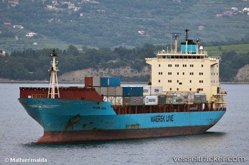
Vessel HR TURAG IMO: 9175779, MMSI: 405000386 Container Ship
UTC, 5.85065, 80.17067, course: 125, speed: 9.3
UTC, 5.76055, 80.31415, course: 110, speed: 9.1
2026-03-24 15:58:59 UTC, 5.71167, 80.68833, course: -1, speed: 9
Live Vessel HR TURAG Analytics (details, animations, etc.)
Live AIS position: UTC. 16 nm SE of Matara), updated 2026-03-24 15:58:59 UTC.Find the position of the vessel HR TURAG on the map. The latter are known coordinates and path.
marine traffic ship tracker show on live map
The current position of vessel HR TURAG is 5.71167 lat / 80.68833 lng. Updated: 2026-03-24 15:58:59 UTCCurrently sailing under the flag of Bangladesh
Details:
Last coordinates of the vessel:
UTC, 6.09372, 79.98585, course: 150, speed: 10UTC, 5.85065, 80.17067, course: 125, speed: 9.3
UTC, 5.76055, 80.31415, course: 110, speed: 9.1
2026-03-24 15:58:59 UTC, 5.71167, 80.68833, course: -1, speed: 9