 vesseltracker.com
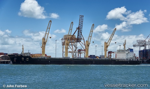
Vessel Hai Li 17 IMO: 9625566, MMSI: 412403020 Bulk Carrier
UTC, 32.12752, 119.91788, course: 344, speed: 0
UTC, 32.12752, 119.91790, course: 343, speed: 0
2026-02-02 17:50:18 UTC, 32.12667, 119.91667, course: -1, speed: 0
Live AIS position:
UTC. Near Taixing),
updated 2026-02-02 17:50:18 UTC.
Find the position of the vessel Hai Li 17 on the map. The latter are known coordinates and path.
marine traffic ship tracker show on live map
The current position of vessel Hai Li 17 is 32.12667 lat / 119.91667 lng. Updated: 2026-02-02 17:50:18 UTCCurrently sailing under the flag of China
Hai Li 17 built in 2011 year
Deadweight:
34961 tDetails:
Last coordinates of the vessel:
UTC, 32.12753, 119.91788, course: 344, speed: 0UTC, 32.12752, 119.91788, course: 344, speed: 0
UTC, 32.12752, 119.91790, course: 343, speed: 0
2026-02-02 17:50:18 UTC, 32.12667, 119.91667, course: -1, speed: 0