 vesseltracker.com
Find the position of the vessel Tian Yi 16 on the map. The latter are known coordinates and path.
marine traffic ship tracker show on live map
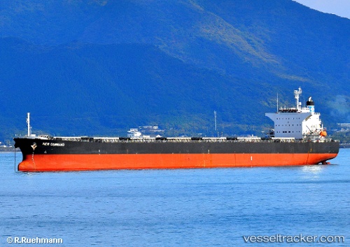
The current position of vessel Tian Yi 16 is 21.46251 lat / 111.83793 lng. Updated: 2025-11-08 14:38:00 UTCCurrently sailing under the flag of China
Tian Yi 16 built in 2002 year
Deadweight:
76662 tDetails:
Last coordinates of the vessel:
UTC, 21.46254, 111.83794, course: 100, speed: 0.1UTC, 21.46252, 111.83797, course: 101, speed: 0.1
UTC, 21.46263, 111.83800, course: 101, speed: 0
2025-11-08 14:38:00 UTC, 21.46251, 111.83793, course: 97, speed: 0