 vesseltracker.com
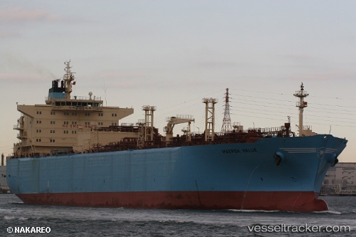
Vessel '419001620' IMO: 9320752, MMSI: 419001620
UTC, 19.28774, 87.38372, course: 201, speed: 15.2
UTC, 18.91015, 87.22549, course: 213, speed: 14.4
2026-01-29 13:45:12 UTC, 18.50076, 87.05996, course: 203, speed: 14.3
Live AIS position:
UTC. 107 nm S of Paradip),
updated 2026-01-29 13:45:12 UTC.
Find the position of the vessel '419001620' on the map. The latter are known coordinates and path.
marine traffic ship tracker show on live map
The current position of vessel '419001620' is 18.50076 lat / 87.05996 lng. Updated: 2026-01-29 13:45:12 UTCDetails:
Last coordinates of the vessel:
UTC, 19.99834, 87.65864, course: 201, speed: 15.6UTC, 19.28774, 87.38372, course: 201, speed: 15.2
UTC, 18.91015, 87.22549, course: 213, speed: 14.4
2026-01-29 13:45:12 UTC, 18.50076, 87.05996, course: 203, speed: 14.3