 vesseltracker.com
Find the position of the vessel '419001620' on the map. The latter are known coordinates and path.
marine traffic ship tracker show on live map
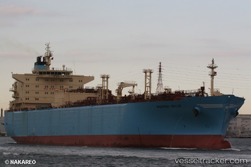
The current position of vessel '419001620' is 25.9242 lat / 51.6153 lng. Updated: 2024-05-03 03:23:53 UTCPort of registry:
Douglas (capital city of the Isle of Man)Payload_mass:
58136 tonneGross tonnage:
47386Service entry:
2007-01-01T00:00:00ZManufacturer:
Hyundai Samho Heavy Industries (company)Details:
Last coordinates of the vessel:
UTC, 25.9242, 51.6152, course: 332, speed: 0UTC, 25.9242, 51.6152, course: 332, speed: 0
UTC, 25.9242, 51.6153, course: 332, speed: 0
2024-05-03 03:23:53 UTC, 25.9242, 51.6153, course: 332, speed: 0