 vesseltracker.com
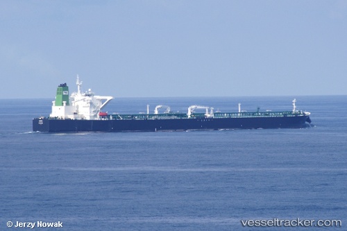
Vessel HILDA I IMO: 9357389, MMSI: 422200600 Crude Oil Tanker
UTC, 2.23700, 101.93367, course: 312, speed: 12.7
UTC, 2.51450, 101.57550, course: 308, speed: 11.7
2026-01-29 19:33:23 UTC, 2.68167, 101.29983, course: 298, speed: 11.3
Live AIS position:
UTC. 14 nm SW of Banting),
updated 2026-01-29 19:33:23 UTC.
Find the position of the vessel HILDA I on the map. The latter are known coordinates and path.
marine traffic ship tracker show on live map
The current position of vessel HILDA I is 2.68167 lat / 101.29983 lng. Updated: 2026-01-29 19:33:23 UTCCurrently sailing under the flag of Iran
HILDA I built in 2008 year
Deadweight:
317367 tDetails:
Last coordinates of the vessel:
UTC, 2.03600, 102.15500, course: 316, speed: 12.5UTC, 2.23700, 101.93367, course: 312, speed: 12.7
UTC, 2.51450, 101.57550, course: 308, speed: 11.7
2026-01-29 19:33:23 UTC, 2.68167, 101.29983, course: 298, speed: 11.3