 vesseltracker.com
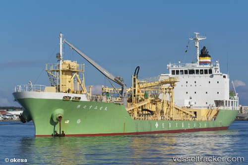
Vessel Sumisemaru No 7 IMO: 9459905, MMSI: 431000548 Cement Carrier
UTC, 41.56975, 141.07635, course: 289, speed: 10.2
UTC, 41.59610, 140.94580, course: 288, speed: 11.9
2026-01-18 07:00:12 UTC, 41.59920, 140.93074, course: 289, speed: 11.9
Live AIS position:
UTC. 10 nm N of SAI),
updated 2026-01-18 07:00:12 UTC.
Find the position of the vessel Sumisemaru No 7 on the map. The latter are known coordinates and path.
marine traffic ship tracker show on live map
The current position of vessel Sumisemaru No 7 is 41.59920 lat / 140.93074 lng. Updated: 2026-01-18 07:00:12 UTCDetails:
Last coordinates of the vessel:
UTC, 41.54610, 141.20343, course: 285, speed: 9.6UTC, 41.56975, 141.07635, course: 289, speed: 10.2
UTC, 41.59610, 140.94580, course: 288, speed: 11.9
2026-01-18 07:00:12 UTC, 41.59920, 140.93074, course: 289, speed: 11.9