 vesseltracker.com
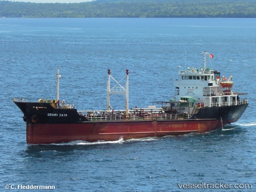
Vessel Senrin Maru IMO: 9523330, MMSI: 431000823 Lpg Tanker
UTC, 33.80259, 131.67442, course: 281, speed: 12.5
UTC, 33.80259, 131.67442, course: 281, speed: 12.5
2026-01-30 17:59:49 UTC, 33.90361, 131.18365, course: 101, speed: 0.1
Live AIS position:
UTC. Near Ube),
updated 2026-01-30 17:59:49 UTC.
Find the position of the vessel Senrin Maru on the map. The latter are known coordinates and path.
marine traffic ship tracker show on live map
The current position of vessel Senrin Maru is 33.90361 lat / 131.18365 lng. Updated: 2026-01-30 17:59:49 UTCDetails:
Last coordinates of the vessel:
UTC, 33.83351, 132.19083, course: 267, speed: 13.6UTC, 33.80259, 131.67442, course: 281, speed: 12.5
UTC, 33.80259, 131.67442, course: 281, speed: 12.5
2026-01-30 17:59:49 UTC, 33.90361, 131.18365, course: 101, speed: 0.1