 vesseltracker.com
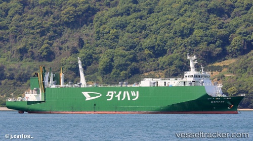
Vessel Daihatsu Maru 2 IMO: 9392121, MMSI: 431000981 Vehicles Carrier
UTC, 33.66222, 131.33321, course: 52, speed: 15.2
UTC, 33.78228, 131.69458, course: -1, speed: 16.4
2026-03-05 04:27:56 UTC, 33.76100, 132.04018, course: -1, speed: 14.3
Live Vessel Daihatsu Maru 2 Analytics (details, animations, etc.)
Live AIS position: UTC. 13 nm SE of HIKARI), updated 2026-03-05 04:27:56 UTC.Find the position of the vessel Daihatsu Maru 2 on the map. The latter are known coordinates and path.
marine traffic ship tracker show on live map
The current position of vessel Daihatsu Maru 2 is 33.76100 lat / 132.04018 lng. Updated: 2026-03-05 04:27:56 UTCDetails:
Last coordinates of the vessel:
UTC, 33.75181, 131.60548, course: 260, speed: 15.1UTC, 33.66222, 131.33321, course: 52, speed: 15.2
UTC, 33.78228, 131.69458, course: -1, speed: 16.4
2026-03-05 04:27:56 UTC, 33.76100, 132.04018, course: -1, speed: 14.3