 vesseltracker.com
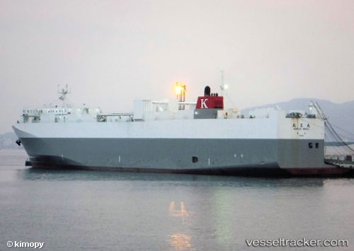
Vessel Hokuo Maru IMO: 9700304, MMSI: 431001040 Vehicles Carrier
UTC, 37.01382, 141.11591, course: -1, speed: 21
UTC, 37.41528, 141.29208, course: 17, speed: 20.1
2026-03-10 19:23:09 UTC, 38.21920, 141.63683, course: 25, speed: 20.4
Live Vessel Hokuo Maru Analytics (details, animations, etc.)
Live AIS position: UTC. 16 nm SE of ONAGAWA), updated 2026-03-10 19:23:09 UTC.Find the position of the vessel Hokuo Maru on the map. The latter are known coordinates and path.
marine traffic ship tracker show on live map
The current position of vessel Hokuo Maru is 38.21920 lat / 141.63683 lng. Updated: 2026-03-10 19:23:09 UTCDetails:
Last coordinates of the vessel:
UTC, 36.50049, 140.73515, course: 30, speed: 20.6UTC, 37.01382, 141.11591, course: -1, speed: 21
UTC, 37.41528, 141.29208, course: 17, speed: 20.1
2026-03-10 19:23:09 UTC, 38.21920, 141.63683, course: 25, speed: 20.4