 vesseltracker.com
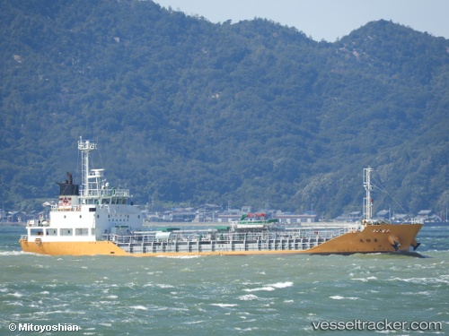
Vessel Seitoku Maru IMO: 9739599, MMSI: 431006388 Bitumen Tanker
UTC, 38.23676, 141.08684, course: 316, speed: 0.1
UTC, 38.23702, 141.08711, course: 298, speed: 0
2026-02-01 09:24:12 UTC, 38.23701, 141.08704, course: 301, speed: 0.1
Live AIS position:
UTC. Near SENDAI),
updated 2026-02-01 09:24:12 UTC.
Find the position of the vessel Seitoku Maru on the map. The latter are known coordinates and path.
marine traffic ship tracker show on live map
The current position of vessel Seitoku Maru is 38.23701 lat / 141.08704 lng. Updated: 2026-02-01 09:24:12 UTCCurrently sailing under the flag of Japan
Details:
Last coordinates of the vessel:
UTC, 38.23669, 141.08647, course: 337, speed: 0.1UTC, 38.23676, 141.08684, course: 316, speed: 0.1
UTC, 38.23702, 141.08711, course: 298, speed: 0
2026-02-01 09:24:12 UTC, 38.23701, 141.08704, course: 301, speed: 0.1