 vesseltracker.com
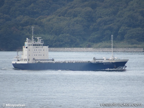
Vessel Shinryu Maru IMO: 9781229, MMSI: 431007228 General Cargo Ship
UTC, 34.77964, 134.63551, course: 84, speed: 0
UTC, 34.77963, 134.63548, course: 84, speed: 0
2026-03-15 17:36:07 UTC, 34.77964, 134.63551, course: 84, speed: 0
Live Vessel Shinryu Maru Analytics (details, animations, etc.)
Live AIS position: UTC. Near Higashi-Iwase), updated 2026-03-15 17:36:07 UTC.Find the position of the vessel Shinryu Maru on the map. The latter are known coordinates and path.
marine traffic ship tracker show on live map
The current position of vessel Shinryu Maru is 34.77964 lat / 134.63551 lng. Updated: 2026-03-15 17:36:07 UTCCurrently sailing under the flag of Japan
Details:
Last coordinates of the vessel:
UTC, 34.77961, 134.63547, course: 84, speed: 0UTC, 34.77964, 134.63551, course: 84, speed: 0
UTC, 34.77963, 134.63548, course: 84, speed: 0
2026-03-15 17:36:07 UTC, 34.77964, 134.63551, course: 84, speed: 0