 vesseltracker.com
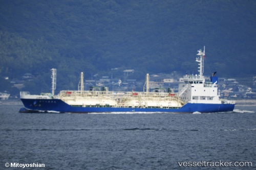
Vessel Tokuyo Maru No.17 IMO: 9805398, MMSI: 431009496 Lpg Tanker
UTC, 35.41184, 139.64458, course: 81, speed: 0
UTC, 35.27963, 139.75133, course: 146, speed: 12.1
2026-02-01 05:49:08 UTC, 34.87891, 139.87724, course: 95, speed: 12.7
Live AIS position:
UTC. 19 nm NE of Nishitokyo),
updated 2026-02-01 05:49:08 UTC.
Find the position of the vessel Tokuyo Maru No.17 on the map. The latter are known coordinates and path.
marine traffic ship tracker show on live map
The current position of vessel Tokuyo Maru No.17 is 34.87891 lat / 139.87724 lng. Updated: 2026-02-01 05:49:08 UTCCurrently sailing under the flag of Japan
Details:
Last coordinates of the vessel:
UTC, 35.41180, 139.64461, course: 81, speed: 0UTC, 35.41184, 139.64458, course: 81, speed: 0
UTC, 35.27963, 139.75133, course: 146, speed: 12.1
2026-02-01 05:49:08 UTC, 34.87891, 139.87724, course: 95, speed: 12.7