 vesseltracker.com
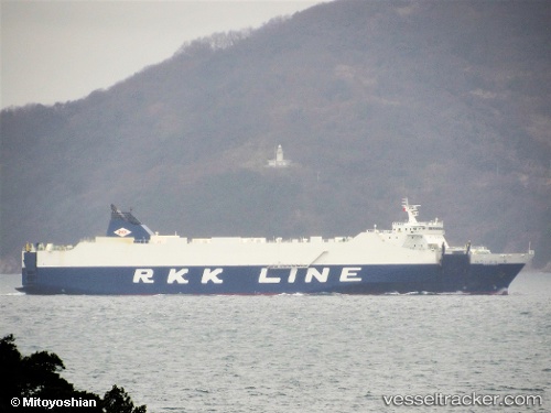
Vessel Niraikanai 2 IMO: 9816402, MMSI: 431010465 Vehicles Carrier
UTC, 27.18299, 127.87379, course: 205, speed: 19.4
UTC, 26.38014, 127.63313, course: 187, speed: 19.1
2026-01-18 20:48:00 UTC, 26.23596, 127.67579, course: 173, speed: 1.2
Live AIS position:
UTC. Near Urazoe, Okinawa),
updated 2026-01-18 20:48:00 UTC.
Find the position of the vessel Niraikanai 2 on the map. The latter are known coordinates and path.
marine traffic ship tracker show on live map
The current position of vessel Niraikanai 2 is 26.23596 lat / 127.67579 lng. Updated: 2026-01-18 20:48:00 UTCCurrently sailing under the flag of Japan
Details:
Last coordinates of the vessel:
UTC, 27.28770, 127.95969, course: 219, speed: 19.8UTC, 27.18299, 127.87379, course: 205, speed: 19.4
UTC, 26.38014, 127.63313, course: 187, speed: 19.1
2026-01-18 20:48:00 UTC, 26.23596, 127.67579, course: 173, speed: 1.2