 vesseltracker.com
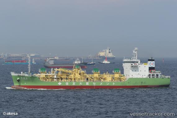
Vessel Taikimaru IMO: 9833785, MMSI: 431011571 Cement Carrier
UTC, 34.89132, 139.96971, course: 68, speed: 12.7
UTC, 35.03760, 140.27829, course: 64, speed: 12.6
2026-01-28 13:34:49 UTC, 35.32832, 140.64983, course: 36, speed: 12.8
Live AIS position:
UTC. 13 nm E of OHARA),
updated 2026-01-28 13:34:49 UTC.
Find the position of the vessel Taikimaru on the map. The latter are known coordinates and path.
marine traffic ship tracker show on live map
The current position of vessel Taikimaru is 35.32832 lat / 140.64983 lng. Updated: 2026-01-28 13:34:49 UTCCurrently sailing under the flag of Japan
Details:
Last coordinates of the vessel:
UTC, 35.44235, 139.69423, course: 126, speed: 13UTC, 34.89132, 139.96971, course: 68, speed: 12.7
UTC, 35.03760, 140.27829, course: 64, speed: 12.6
2026-01-28 13:34:49 UTC, 35.32832, 140.64983, course: 36, speed: 12.8