 vesseltracker.com
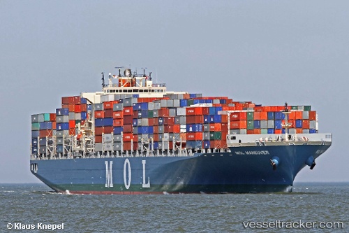
Vessel '431120000' IMO: 9475648, MMSI: 431120000
UTC, 36.13118, -5.42231, course: 178, speed: 0
UTC, 36.13117, -5.42236, course: 178, speed: 0
2026-02-11 02:10:09 UTC, 36.10916, -5.38760, course: 156, speed: 11
Live AIS position:
UTC. Near Waterport),
updated 2026-02-11 02:10:09 UTC.
Find the position of the vessel '431120000' on the map. The latter are known coordinates and path.
marine traffic ship tracker show on live map
The current position of vessel '431120000' is 36.10916 lat / -5.38760 lng. Updated: 2026-02-11 02:10:09 UTCDetails:
Last coordinates of the vessel:
UTC, 36.13108, -5.42238, course: 178, speed: 0UTC, 36.13118, -5.42231, course: 178, speed: 0
UTC, 36.13117, -5.42236, course: 178, speed: 0
2026-02-11 02:10:09 UTC, 36.10916, -5.38760, course: 156, speed: 11