 vesseltracker.com
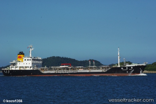
Vessel Toyomasa Maru IMO: 9146778, MMSI: 431300401 Oil Products Tanker
UTC, 35.19953, 139.76118, course: 202, speed: 11.6
UTC, 34.87387, 139.36980, course: 227, speed: 11.9
2026-02-19 11:18:56 UTC, 34.72068, 139.17882, course: 223, speed: 11.6
Live AIS position:
UTC. 13 nm N of Toshima/Tokyo),
updated 2026-02-19 11:18:56 UTC.
Find the position of the vessel Toyomasa Maru on the map. The latter are known coordinates and path.
marine traffic ship tracker show on live map
The current position of vessel Toyomasa Maru is 34.72068 lat / 139.17882 lng. Updated: 2026-02-19 11:18:56 UTCDetails:
Last coordinates of the vessel:
UTC, 35.50695, 139.76299, course: 79, speed: 6.5UTC, 35.19953, 139.76118, course: 202, speed: 11.6
UTC, 34.87387, 139.36980, course: 227, speed: 11.9
2026-02-19 11:18:56 UTC, 34.72068, 139.17882, course: 223, speed: 11.6