 vesseltracker.com
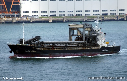
Vessel Thunnus3 IMO: 8990201, MMSI: 431401984 Pusher Tug
UTC, 34.21290, 132.82744, course: 301, speed: 0.1
UTC, 34.21290, 132.82744, course: 301, speed: 0.1
2026-02-23 17:38:03 UTC, 34.21290, 132.82744, course: 301, speed: 0.1
Live AIS position:
UTC. Near OKAMURA),
updated 2026-02-23 17:38:03 UTC.
Find the position of the vessel Thunnus3 on the map. The latter are known coordinates and path.
marine traffic ship tracker show on live map
The current position of vessel Thunnus3 is 34.21290 lat / 132.82744 lng. Updated: 2026-02-23 17:38:03 UTCDetails:
Last coordinates of the vessel:
UTC, 34.21370, 132.82719, course: 200, speed: 0.1UTC, 34.21290, 132.82744, course: 301, speed: 0.1
UTC, 34.21290, 132.82744, course: 301, speed: 0.1
2026-02-23 17:38:03 UTC, 34.21290, 132.82744, course: 301, speed: 0.1