 vesseltracker.com
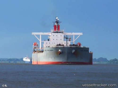
Vessel Cape Britannia IMO: 9409065, MMSI: 431449000 Ore Carrier
UTC, 28.04422, -115.18173, course: 158, speed: 0
UTC, 28.04418, -115.18173, course: 158, speed: 0.1
2026-02-22 02:59:14 UTC, 28.04423, -115.18175, course: 158, speed: 0
Live AIS position:
UTC. Near Morro Redondo),
updated 2026-02-22 02:59:14 UTC.
Find the position of the vessel Cape Britannia on the map. The latter are known coordinates and path.
marine traffic ship tracker show on live map
The current position of vessel Cape Britannia is 28.04423 lat / -115.18175 lng. Updated: 2026-02-22 02:59:14 UTCDetails:
Last coordinates of the vessel:
UTC, 28.04422, -115.18173, course: 158, speed: 0UTC, 28.04422, -115.18173, course: 158, speed: 0
UTC, 28.04418, -115.18173, course: 158, speed: 0.1
2026-02-22 02:59:14 UTC, 28.04423, -115.18175, course: 158, speed: 0