 vesseltracker.com
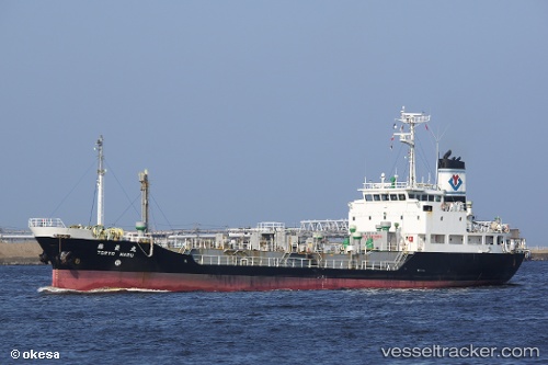
Find the position of the vessel Toryo Maru on the map. The latter are known coordinates and path.
marine traffic ship tracker show on live map
The current position of vessel Toryo Maru is -17.4342 lat / 153.266 lng. Updated: 2024-05-26 04:48:42 UTCCurrently sailing under the flag of Japan
Payload_mass:
1605 tonneGross tonnage:
1351Service entry:
1995-01-01T00:00:00ZDetails:
Last coordinates of the vessel:
UTC, -17.5661, 153.291, course: 351, speed: 10.6UTC, -17.4342, 153.266, course: 351, speed: 10.4
UTC, -17.4342, 153.266, course: 351, speed: 10.4
2024-05-26 04:48:42 UTC, -17.4342, 153.266, course: 351, speed: 10.4