 vesseltracker.com
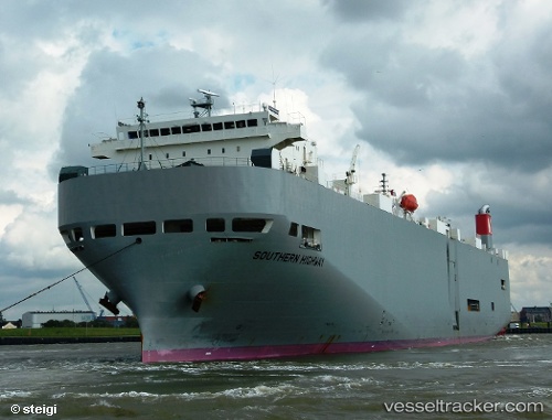
Vessel Southern Highway IMO: 9338632, MMSI: 431857000 Vehicles Carrier
UTC, 34.54059, 137.01984, course: 161, speed: 10.4
UTC, 34.47256, 137.64026, course: 90, speed: 16.7
2026-01-31 12:08:34 UTC, 34.47426, 138.44489, course: 93, speed: 16.9
Live AIS position:
UTC. 14 nm SE of OMAEZAKI),
updated 2026-01-31 12:08:34 UTC.
Find the position of the vessel Southern Highway on the map. The latter are known coordinates and path.
marine traffic ship tracker show on live map
The current position of vessel Southern Highway is 34.47426 lat / 138.44489 lng. Updated: 2026-01-31 12:08:34 UTCDetails:
Last coordinates of the vessel:
UTC, 34.93314, 136.77031, course: 205, speed: 14.3UTC, 34.54059, 137.01984, course: 161, speed: 10.4
UTC, 34.47256, 137.64026, course: 90, speed: 16.7
2026-01-31 12:08:34 UTC, 34.47426, 138.44489, course: 93, speed: 16.9