 vesseltracker.com
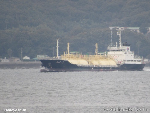
Vessel Ryoan Maru IMO: 9512886, MMSI: 432671000 Lpg Tanker
UTC, 33.94522, 130.92488, course: 101, speed: 0
UTC, 33.94524, 130.92490, course: 101, speed: 0
2026-02-05 15:25:01 UTC, 33.94522, 130.92490, course: 101, speed: 0
Live AIS position:
UTC. Near Shimonoseki),
updated 2026-02-05 15:25:01 UTC.
Find the position of the vessel Ryoan Maru on the map. The latter are known coordinates and path.
marine traffic ship tracker show on live map
The current position of vessel Ryoan Maru is 33.94522 lat / 130.92490 lng. Updated: 2026-02-05 15:25:01 UTCCurrently sailing under the flag of Japan
Details:
Last coordinates of the vessel:
UTC, 33.94526, 130.92490, course: 100, speed: 0UTC, 33.94522, 130.92488, course: 101, speed: 0
UTC, 33.94524, 130.92490, course: 101, speed: 0
2026-02-05 15:25:01 UTC, 33.94522, 130.92490, course: 101, speed: 0