 vesseltracker.com
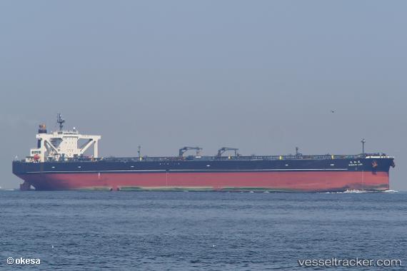
Vessel Takamatsu Maru IMO: 9478676, MMSI: 432831000 Crude Oil Tanker
UTC, 26.76128, 52.74631, course: 318, speed: 15.1
UTC, 26.97615, 52.49030, course: 293, speed: 14.6
2026-02-08 09:23:04 UTC, 27.09931, 51.97844, course: 275, speed: 12.7
Live AIS position:
UTC. 31 nm N of Al Shaheen terminal),
updated 2026-02-08 09:23:04 UTC.
Find the position of the vessel Takamatsu Maru on the map. The latter are known coordinates and path.
marine traffic ship tracker show on live map
The current position of vessel Takamatsu Maru is 27.09931 lat / 51.97844 lng. Updated: 2026-02-08 09:23:04 UTCCurrently sailing under the flag of Japan
Takamatsu Maru built in 2012 year
Deadweight:
311087 tDetails:
Last coordinates of the vessel:
UTC, 26.29820, 53.16044, course: 321, speed: 16.4UTC, 26.76128, 52.74631, course: 318, speed: 15.1
UTC, 26.97615, 52.49030, course: 293, speed: 14.6
2026-02-08 09:23:04 UTC, 27.09931, 51.97844, course: 275, speed: 12.7