 vesseltracker.com
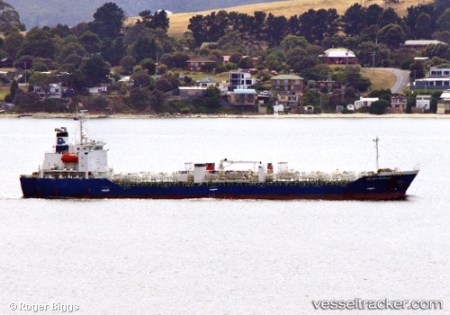
Vessel BUSAN HOPE IMO: 9433860, MMSI: 440046000 Chemical/Oil Products Tanker
UTC, 34.90110, 127.66809, course: 233, speed: 0
UTC, 34.90107, 127.66808, course: 233, speed: 0
2026-02-04 09:31:40 UTC, 34.90110, 127.66812, course: 233, speed: 0
Live AIS position:
UTC. Near Gwangyang),
updated 2026-02-04 09:31:40 UTC.
Find the position of the vessel BUSAN HOPE on the map. The latter are known coordinates and path.
marine traffic ship tracker show on live map
The current position of vessel BUSAN HOPE is 34.90110 lat / 127.66812 lng. Updated: 2026-02-04 09:31:40 UTCCurrently sailing under the flag of Korea (Republic of)
BUSAN HOPE built in 2007 year
Deadweight:
12693 tDetails:
Last coordinates of the vessel:
UTC, 34.90120, 127.66810, course: 233, speed: 0UTC, 34.90110, 127.66809, course: 233, speed: 0
UTC, 34.90107, 127.66808, course: 233, speed: 0
2026-02-04 09:31:40 UTC, 34.90110, 127.66812, course: 233, speed: 0