 vesseltracker.com
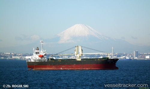
Find the position of the vessel ST LILY on the map. The latter are known coordinates and path.
marine traffic ship tracker show on live map
The current position of vessel ST LILY is 37.016 lat / 126.305 lng. Updated: 2024-05-18 07:51:32 UTCCurrently sailing under the flag of Korea (Republic of)
ST LILY built in 2005 year
Port of registry:
Panama City (capital of Panama)Deadweight:
9506 tPayload_mass:
9506 tonneGross tonnage:
6004Service entry:
2005-01-01T00:00:00ZDetails:
Last coordinates of the vessel:
2024-05-18 07:51:32 UTC, 37.016, 126.305, course: 25, speed: 0