 vesseltracker.com
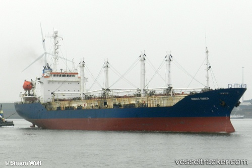
Vessel Sein Sky IMO: 8813623, MMSI: 440097000 Refrigerated Cargo Ship
UTC, 8.86720, -79.52859, course: 57, speed: 0
UTC, 8.86692, -79.52811, course: 41, speed: 0.2
2026-01-28 00:15:23 UTC, 8.86703, -79.52829, course: 47, speed: 0
Live AIS position:
UTC. Near Panama),
updated 2026-01-28 00:15:23 UTC.
Find the position of the vessel Sein Sky on the map. The latter are known coordinates and path.
marine traffic ship tracker show on live map
The current position of vessel Sein Sky is 8.86703 lat / -79.52829 lng. Updated: 2026-01-28 00:15:23 UTCDetails:
Last coordinates of the vessel:
UTC, 8.86715, -79.52849, course: 49, speed: 0.1UTC, 8.86720, -79.52859, course: 57, speed: 0
UTC, 8.86692, -79.52811, course: 41, speed: 0.2
2026-01-28 00:15:23 UTC, 8.86703, -79.52829, course: 47, speed: 0