 vesseltracker.com
Find the position of the vessel SKYMIR on the map. The latter are known coordinates and path.
marine traffic ship tracker show on live map
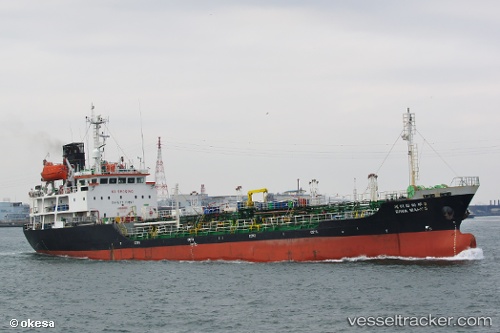
The current position of vessel SKYMIR is 35.05486 lat / 129.02859 lng. Updated: 2025-11-18 12:00:36 UTCCurrently sailing under the flag of Korea (Republic of)
SKYMIR built in 1996 year
Deadweight:
2780 tDetails:
Last coordinates of the vessel:
UTC, 35.05435, 129.02899, course: 261, speed: 0.3UTC, 35.05437, 129.02901, course: 262, speed: 0.2
UTC, 35.05486, 129.02869, course: 234, speed: 0.1
2025-11-18 12:00:36 UTC, 35.05486, 129.02859, course: 235, speed: 0.2