 vesseltracker.com
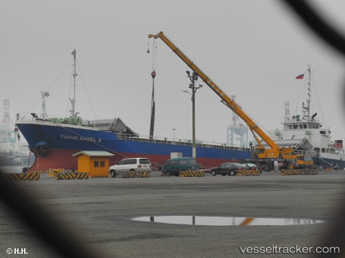
Vessel JANGHO ANGEL IMO: 9238648, MMSI: 440212000 General Cargo Ship
UTC, 33.89406, 131.22372, course: 258, speed: 0
UTC, 33.89360, 131.22359, course: 310, speed: 0
2026-01-29 22:07:25 UTC, 33.89338, 131.22330, course: 322, speed: 0.1
Live AIS position:
UTC. Near Ube),
updated 2026-01-29 22:07:25 UTC.
Find the position of the vessel JANGHO ANGEL on the map. The latter are known coordinates and path.
marine traffic ship tracker show on live map
The current position of vessel JANGHO ANGEL is 33.89338 lat / 131.22330 lng. Updated: 2026-01-29 22:07:25 UTCCurrently sailing under the flag of Korea (Republic of)
JANGHO ANGEL built in 2000 year
Deadweight:
2768 tDetails:
Last coordinates of the vessel:
UTC, 33.89386, 131.22374, course: 282, speed: 0.1UTC, 33.89406, 131.22372, course: 258, speed: 0
UTC, 33.89360, 131.22359, course: 310, speed: 0
2026-01-29 22:07:25 UTC, 33.89338, 131.22330, course: 322, speed: 0.1