 vesseltracker.com
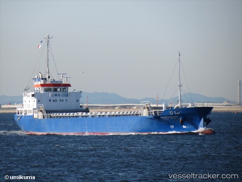
Vessel HANDONG 23 IMO: 9587738, MMSI: 440409920 General Cargo Ship
UTC, 34.68403, 128.80579, course: 217, speed: 11.8
UTC, 34.68403, 128.80579, course: 217, speed: 11.8
2026-01-20 02:34:39 UTC, 34.48265, 128.27742, course: 265, speed: 10.9
Live AIS position:
UTC. Near Kukdo),
updated 2026-01-20 02:34:39 UTC.
Find the position of the vessel HANDONG 23 on the map. The latter are known coordinates and path.
marine traffic ship tracker show on live map
The current position of vessel HANDONG 23 is 34.48265 lat / 128.27742 lng. Updated: 2026-01-20 02:34:39 UTCCurrently sailing under the flag of Korea (Republic of)
HANDONG 23 built in 2010 year
Deadweight:
1705 tDetails:
Last coordinates of the vessel:
UTC, 34.73500, 128.85834, course: -1, speed: 11UTC, 34.68403, 128.80579, course: 217, speed: 11.8
UTC, 34.68403, 128.80579, course: 217, speed: 11.8
2026-01-20 02:34:39 UTC, 34.48265, 128.27742, course: 265, speed: 10.9