 vesseltracker.com
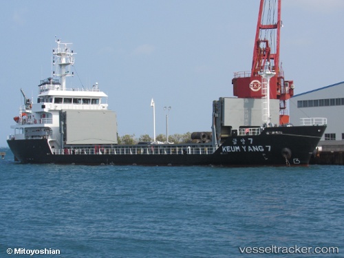
Vessel Keum Yang 7 IMO: 9793351, MMSI: 440864000 General Cargo Ship
UTC, 34.89060, 127.68832, course: 180, speed: 0
UTC, 34.89046, 127.68888, course: 212, speed: 0
2026-02-18 04:28:39 UTC, 34.89039, 127.68896, course: 238, speed: 0.1
Live AIS position:
UTC. Near Gwangyang),
updated 2026-02-18 04:28:39 UTC.
Find the position of the vessel Keum Yang 7 on the map. The latter are known coordinates and path.
marine traffic ship tracker show on live map
The current position of vessel Keum Yang 7 is 34.89039 lat / 127.68896 lng. Updated: 2026-02-18 04:28:39 UTCCurrently sailing under the flag of Korea
Details:
Last coordinates of the vessel:
UTC, 34.88932, 127.68822, course: 332, speed: 0UTC, 34.89060, 127.68832, course: 180, speed: 0
UTC, 34.89046, 127.68888, course: 212, speed: 0
2026-02-18 04:28:39 UTC, 34.89039, 127.68896, course: 238, speed: 0.1