 vesseltracker.com
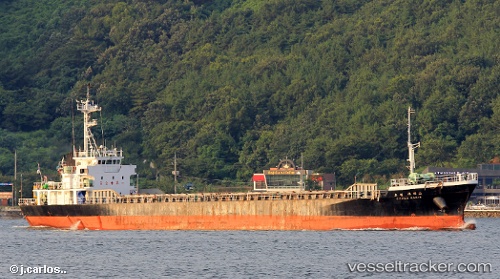
Vessel Ocean Karis IMO: 9136606, MMSI: 441636000 General Cargo Ship
UTC, 35.05904, 128.99712, course: -1, speed: 0
UTC, 35.05904, 128.99710, course: -1, speed: 0
2026-02-22 20:22:52 UTC, 35.03027, 128.77882, course: -1, speed: 8.5
Live AIS position:
UTC. Near BUSAN NEW PORT),
updated 2026-02-22 20:22:52 UTC.
Find the position of the vessel Ocean Karis on the map. The latter are known coordinates and path.
marine traffic ship tracker show on live map
The current position of vessel Ocean Karis is 35.03027 lat / 128.77882 lng. Updated: 2026-02-22 20:22:52 UTCDetails:
Last coordinates of the vessel:
UTC, 35.05903, 128.99710, course: -1, speed: 0UTC, 35.05904, 128.99712, course: -1, speed: 0
UTC, 35.05904, 128.99710, course: -1, speed: 0
2026-02-22 20:22:52 UTC, 35.03027, 128.77882, course: -1, speed: 8.5