 vesseltracker.com
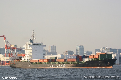
Vessel SKY HOPE IMO: 9595797, MMSI: 441671000 Cargo
UTC, 36.33521, 123.36361, course: -1, speed: 15.1
UTC, 36.26453, 122.99373, course: 257, speed: 15.3
2026-03-02 03:16:42 UTC, 36.13562, 122.46560, course: 255, speed: 15.9
Live AIS position:
UTC. 44 nm S of Shidao Pt),
updated 2026-03-02 03:16:42 UTC.
Find the position of the vessel SKY HOPE on the map. The latter are known coordinates and path.
marine traffic ship tracker show on live map
The current position of vessel SKY HOPE is 36.13562 lat / 122.46560 lng. Updated: 2026-03-02 03:16:42 UTCCurrently sailing under the flag of South Korea
Details:
Last coordinates of the vessel:
UTC, 36.53659, 124.29371, course: 253, speed: 16.2UTC, 36.33521, 123.36361, course: -1, speed: 15.1
UTC, 36.26453, 122.99373, course: 257, speed: 15.3
2026-03-02 03:16:42 UTC, 36.13562, 122.46560, course: 255, speed: 15.9