 vesseltracker.com
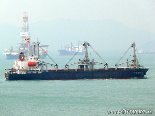
Find the position of the vessel SA HYANG SAN 1 on the map. The latter are known coordinates and path.
marine traffic ship tracker show on live map
The current position of vessel SA HYANG SAN 1 is 38.9089 lat / 118.21 lng. Updated: 2025-03-09 16:53:13 UTCCurrently sailing under the flag of Korea Democratic Republic
SA HYANG SAN 1 built in 1992 year
Deadweight:
5849 tPayload_mass:
5849 tonneGross tonnage:
4573Service entry:
1992-01-01T00:00:00ZManufacturer:
Imabari Shipbuilding (Japanese shipbuilder)
Details:
Last coordinates of the vessel:
UTC, 38.9089, 118.21, course: -1, speed: 0.1UTC, 38.9089, 118.21, course: -1, speed: 0.1
UTC, 38.9089, 118.21, course: -1, speed: 0.1
UTC, 38.9089, 118.21, course: -1, speed: 0.1
2025-03-09 16:53:13 UTC, 38.9089, 118.21, course: -1, speed: 0.1