 vesseltracker.com
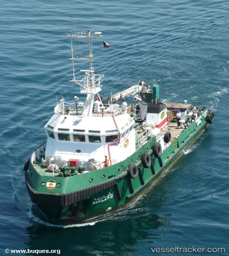
Vessel Nakilat Vi IMO: 9331983, MMSI: 447156000 Utility Vessel
UTC, 29.06023, 48.15394, course: 63, speed: 0.1
UTC, 29.06021, 48.15396, course: 63, speed: 0
2026-01-28 04:10:07 UTC, 29.06023, 48.15395, course: 62, speed: 0.1
Live AIS position:
UTC. Near Mina' al Ahmadi),
updated 2026-01-28 04:10:07 UTC.
Find the position of the vessel Nakilat Vi on the map. The latter are known coordinates and path.
marine traffic ship tracker show on live map
The current position of vessel Nakilat Vi is 29.06023 lat / 48.15395 lng. Updated: 2026-01-28 04:10:07 UTCDetails:
Last coordinates of the vessel:
UTC, 29.06021, 48.15394, course: 63, speed: 0UTC, 29.06023, 48.15394, course: 63, speed: 0.1
UTC, 29.06021, 48.15396, course: 63, speed: 0
2026-01-28 04:10:07 UTC, 29.06023, 48.15395, course: 62, speed: 0.1