 vesseltracker.com
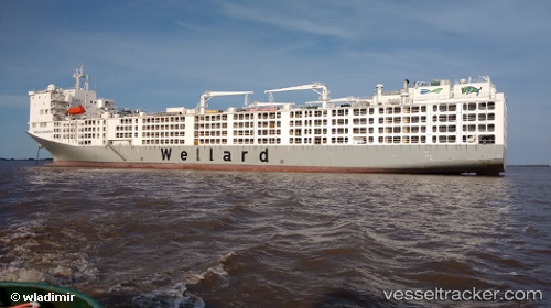
Vessel AL KUWAIT IMO: 9590931, MMSI: 447302000 Livestock Carrier
UTC, -32.05177, 115.73855, course: 225, speed: 0
UTC, -32.05185, 115.73856, course: -1, speed: 0.1
2026-02-25 17:53:42 UTC, -32.05176, 115.73858, course: 225, speed: 0
Live AIS position:
UTC. Near Fremantle),
updated 2026-02-25 17:53:42 UTC.
Find the position of the vessel AL KUWAIT on the map. The latter are known coordinates and path.
marine traffic ship tracker show on live map
The current position of vessel AL KUWAIT is -32.05176 lat / 115.73858 lng. Updated: 2026-02-25 17:53:42 UTCCurrently sailing under the flag of Kuwait
AL KUWAIT built in 2016 year
Deadweight:
16110 tDetails:
Last coordinates of the vessel:
UTC, -32.05178, 115.73858, course: 225, speed: 0UTC, -32.05177, 115.73855, course: 225, speed: 0
UTC, -32.05185, 115.73856, course: -1, speed: 0.1
2026-02-25 17:53:42 UTC, -32.05176, 115.73858, course: 225, speed: 0