 vesseltracker.com
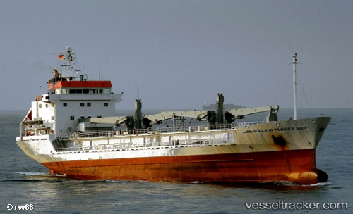
Find the position of the vessel NINA M on the map. The latter are known coordinates and path.
marine traffic ship tracker show on live map
The current position of vessel NINA M is 34.4667 lat / 35.845 lng. Updated: 2024-04-20 10:52:32 UTCCurrently sailing under the flag of Lebanon
NINA M built in 1989 year
Deadweight:
5450 tPayload_mass:
5550 tonneGross tonnage:
3999Service entry:
1989-01-01T00:00:00ZDetails:
Last coordinates of the vessel:
UTC, 34.4667, 35.845, course: -1, speed: 0UTC, 34.4667, 35.845, course: -1, speed: 0
UTC, 34.4667, 35.845, course: -1, speed: 0
2024-04-20 10:52:32 UTC, 34.4667, 35.845, course: -1, speed: 0