 vesseltracker.com
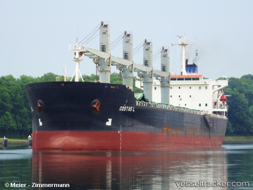
Vessel MSS CHROME IMO: 9125580, MMSI: 455453000 Bulk Carrier
UTC, 4.19167, 73.48833, course: -1, speed: 0
UTC, 4.19167, 73.48833, course: -1, speed: 0
2026-01-14 23:31:10 UTC, 4.19170, 73.49011, course: 19, speed: 0.1
Live AIS position:
UTC. Near Male),
updated 2026-01-14 23:31:10 UTC.
Find the position of the vessel MSS CHROME on the map. The latter are known coordinates and path.
marine traffic ship tracker show on live map
The current position of vessel MSS CHROME is 4.19170 lat / 73.49011 lng. Updated: 2026-01-14 23:31:10 UTCCurrently sailing under the flag of Maldives
MSS CHROME built in 1997 year
Deadweight:
43929 tDetails:
Last coordinates of the vessel:
UTC, 4.19200, 73.49021, course: 23, speed: 0.2UTC, 4.19167, 73.48833, course: -1, speed: 0
UTC, 4.19167, 73.48833, course: -1, speed: 0
2026-01-14 23:31:10 UTC, 4.19170, 73.49011, course: 19, speed: 0.1