 vesseltracker.com
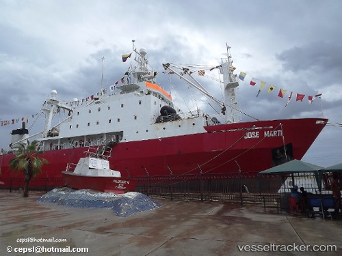
Vessel AL RAHMA IMO: 8607141, MMSI: 461000141 Factory Trawler
UTC, 20.89833, -17.00333, course: -1, speed: 0
UTC, 20.89833, -17.00333, course: -1, speed: 0
2026-02-27 18:14:35 UTC, 20.89833, -17.00333, course: -1, speed: 0
Live AIS position:
UTC. Near Nouadhibou),
updated 2026-02-27 18:14:35 UTC.
Find the position of the vessel AL RAHMA on the map. The latter are known coordinates and path.
marine traffic ship tracker show on live map
The current position of vessel AL RAHMA is 20.89833 lat / -17.00333 lng. Updated: 2026-02-27 18:14:35 UTCCurrently sailing under the flag of Oman
Details:
Last coordinates of the vessel:
UTC, 20.89833, -17.00333, course: -1, speed: 0UTC, 20.89833, -17.00333, course: -1, speed: 0
UTC, 20.89833, -17.00333, course: -1, speed: 0
2026-02-27 18:14:35 UTC, 20.89833, -17.00333, course: -1, speed: 0