 vesseltracker.com
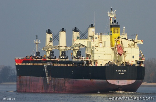
Vessel EXPLORER AFRICA IMO: 9460394, MMSI: 477723500 Bulk Carrier
UTC, 39.81209, 119.60252, course: 208, speed: 0
UTC, 39.81182, 119.60327, course: 231, speed: 0.2
2026-02-03 18:08:57 UTC, 39.81216, 119.60283, course: 218, speed: 0.1
Live AIS position:
UTC. Near Chin-Huang-Tao),
updated 2026-02-03 18:08:57 UTC.
Find the position of the vessel EXPLORER AFRICA on the map. The latter are known coordinates and path.
marine traffic ship tracker show on live map
The current position of vessel EXPLORER AFRICA is 39.81216 lat / 119.60283 lng. Updated: 2026-02-03 18:08:57 UTCCurrently sailing under the flag of Hong Kong, China
EXPLORER AFRICA built in 2012 year
Deadweight:
61360 tDetails:
Last coordinates of the vessel:
UTC, 39.81229, 119.60087, course: 160, speed: 0.1UTC, 39.81209, 119.60252, course: 208, speed: 0
UTC, 39.81182, 119.60327, course: 231, speed: 0.2
2026-02-03 18:08:57 UTC, 39.81216, 119.60283, course: 218, speed: 0.1