 vesseltracker.com
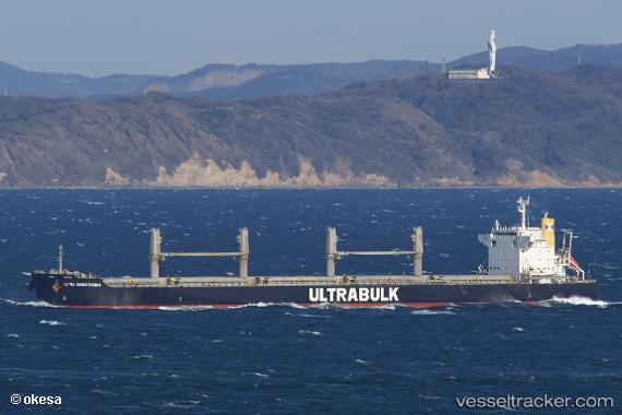
Vessel FORTUNE ISLAND IMO: 9570486, MMSI: 477723800 Bulk Carrier
UTC, 39.21276, 118.99478, course: 350, speed: 0
UTC, 39.21272, 118.99480, course: 350, speed: 0
2026-02-23 19:22:59 UTC, 39.21274, 118.99483, course: 350, speed: 0
Live AIS position:
UTC. Near JINGTANG),
updated 2026-02-23 19:22:59 UTC.
Find the position of the vessel FORTUNE ISLAND on the map. The latter are known coordinates and path.
marine traffic ship tracker show on live map
The current position of vessel FORTUNE ISLAND is 39.21274 lat / 118.99483 lng. Updated: 2026-02-23 19:22:59 UTCCurrently sailing under the flag of Hong Kong, China
FORTUNE ISLAND built in 2010 year
Deadweight:
61484 tDetails:
Last coordinates of the vessel:
UTC, 39.21277, 118.99480, course: 350, speed: 0UTC, 39.21276, 118.99478, course: 350, speed: 0
UTC, 39.21272, 118.99480, course: 350, speed: 0
2026-02-23 19:22:59 UTC, 39.21274, 118.99483, course: 350, speed: 0