 vesseltracker.com
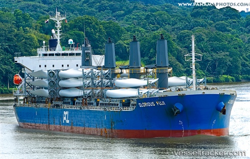
Find the position of the vessel IONA ISLAND on the map. The latter are known coordinates and path.
marine traffic ship tracker show on live map
The current position of vessel IONA ISLAND is 9.37040 lat / -79.93176 lng. Updated: 2025-10-07 01:55:11 UTCCurrently sailing under the flag of Hong Kong, China
IONA ISLAND built in 2013 year
Deadweight:
38180 tDetails:
Last coordinates of the vessel:
UTC, 9.36815, -79.93167, course: 326, speed: 0.1UTC, 9.36872, -79.93117, course: 287, speed: 0
UTC, 9.36931, -79.93112, course: 265, speed: 0
2025-10-07 01:55:11 UTC, 9.37040, -79.93176, course: 210, speed: 0.1