 vesseltracker.com
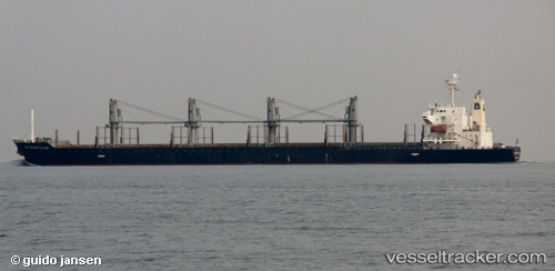
Vessel Matakana Island IMO: 9295153, MMSI: 477733300 Bulk Carrier
UTC, -41.27188, 174.80292, course: 352, speed: 0.1
UTC, -41.27134, 174.80310, course: 352, speed: 0.3
2026-01-28 10:05:24 UTC, -41.26833, 174.78667, course: -1, speed: 0
Live AIS position:
UTC. Near Kaiwharawhara),
updated 2026-01-28 10:05:24 UTC.
Find the position of the vessel Matakana Island on the map. The latter are known coordinates and path.
marine traffic ship tracker show on live map
The current position of vessel Matakana Island is -41.26833 lat / 174.78667 lng. Updated: 2026-01-28 10:05:24 UTCDetails:
Last coordinates of the vessel:
UTC, -41.27182, 174.80293, course: 355, speed: 0UTC, -41.27188, 174.80292, course: 352, speed: 0.1
UTC, -41.27134, 174.80310, course: 352, speed: 0.3
2026-01-28 10:05:24 UTC, -41.26833, 174.78667, course: -1, speed: 0