 vesseltracker.com
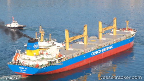
Find the position of the vessel An Ding Hai on the map. The latter are known coordinates and path.
marine traffic ship tracker show on live map
The current position of vessel An Ding Hai is 31.4287 lat / 121.476 lng. Updated: 2025-08-08 11:22:25 UTCCurrently sailing under the flag of Hong Kong
Details:
Last coordinates of the vessel:
UTC, 31.4287, 121.476, course: 312, speed: 0UTC, 31.4287, 121.476, course: 312, speed: 0
UTC, 31.4287, 121.476, course: 312, speed: 0
2025-08-08 11:22:25 UTC, 31.4287, 121.476, course: 312, speed: 0