 vesseltracker.com
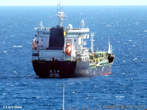
Vessel Amber Bay IMO: 9764520, MMSI: 477900100 Bulk Carrier
UTC, 38.90793, -72.15765, course: 132, speed: 12.2
UTC, 38.51162, -71.74379, course: 136, speed: 11.5
2026-02-27 15:17:50 UTC, 38.31714, -71.54363, course: 139, speed: 11.9
Live AIS position:
UTC. 115 nm S of Offshore Ambrose),
updated 2026-02-27 15:17:50 UTC.
Find the position of the vessel Amber Bay on the map. The latter are known coordinates and path.
marine traffic ship tracker show on live map
The current position of vessel Amber Bay is 38.31714 lat / -71.54363 lng. Updated: 2026-02-27 15:17:50 UTCDetails:
Last coordinates of the vessel:
UTC, 39.26521, -72.50907, course: 149, speed: 12.3UTC, 38.90793, -72.15765, course: 132, speed: 12.2
UTC, 38.51162, -71.74379, course: 136, speed: 11.5
2026-02-27 15:17:50 UTC, 38.31714, -71.54363, course: 139, speed: 11.9